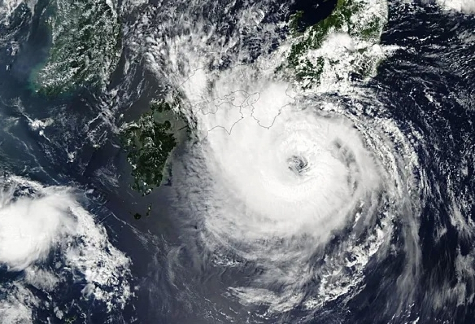
Cyclone Saola intensified into a super typhoon on Sunday, raising the risk of heavy rains along with strong winds, flooding and landslides in the northern Philippines, Anadolu Agency reports citing the country’s official weather agency.
Locally known as Goring, the super typhoon is boasting maximum sustained winds of 185 kilometers per hour (115 miles per hour) near the center and gusts of up to 230 kph (143 mph), local English daily Manila Times reported, citing the Philippine Atmospheric, Geophysical and Astronomical Services Administration.
Saola will turn northeastward and northward on Monday before shifting to a more northwesterly direction on Tuesday.
Forecasters said eastern portions of mainland Cagayan, Isabela, and the Cordillera region are likely to receive 100-200 millimeters (4-7.9 inches) of rainfall.
These provinces are important regions for Philippine producers of rice, corn and vegetable.
Saola is projected to make landfall in the southern portion of Taiwan on Wednesday evening or early Thursday morning, say forecasters.
